
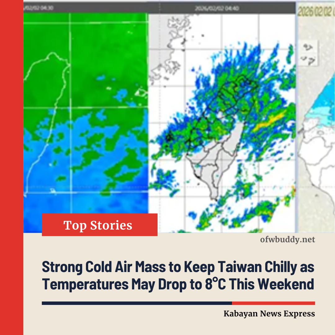
TAIPEI, Taiwan — February 2 — A continental cold air mass continued to affect Taiwan on Sunday, pushing temperatures lower across the island and raising the chance of snowfall in high-altitude areas.
Early this morning, minimum temperatures in lowland areas across Taiwan ranged between 13°C and 14°C, with the coldest reading recorded in Hukou, Hsinchu County, at 12.3°C. Weather authorities said the cold air mass will continue to influence conditions today and tomorrow (February 3), keeping northern Taiwan noticeably colder, with lowland temperatures expected to drop to 11–12°C, while snow remains possible in mountainous regions.
According to Wu Der-rong, adjunct associate professor at the Department of Atmospheric Sciences at National Central University, the latest European Centre for Medium-Range Weather Forecasts (ECMWF) model indicates that northern Taiwan will remain cold today, while other regions experience mild and comfortable conditions during the daytime but chilly mornings and evenings.
Daytime rainfall is expected to gradually ease in central and northern Taiwan, though eastern areas may still see brief, localized showers. Forecast temperatures for today are:
-
Northern Taiwan: 12–18°C
-
Central Taiwan: 13–23°C
-
Southern Taiwan: 14–25°C
-
Eastern Taiwan: 13–24°C
Tomorrow, the cold air mass will persist, with minimum lowland temperatures around 11°C. Moisture levels are expected to decrease, bringing cloudy skies in the north, clear weather in central and southern regions, and occasional rain in eastern Taiwan.
From Wednesday to Friday (February 4–6), the cold air mass will gradually weaken, allowing temperatures to rebound during the day, creating generally sunny, warm, and comfortable conditions. However, strong radiational cooling at night may cause temperatures in some areas to fall below 10°C, leading to significant day–night temperature differences.
Forecast models also show another weather system approaching late Friday, with a frontal boundary bringing rain and cooler temperatures to northern Taiwan. From Saturday (February 7) through early next week, a very strong cold air mass is expected to move southward, potentially reaching the intensity of a strong continental cold air mass, with lowland temperatures possibly dropping to around 8°C. Meteorologists caution that forecasts may still be adjusted and advise the public to stay updated.