
Issued: November 2, 2025 | 5:00 a.m.
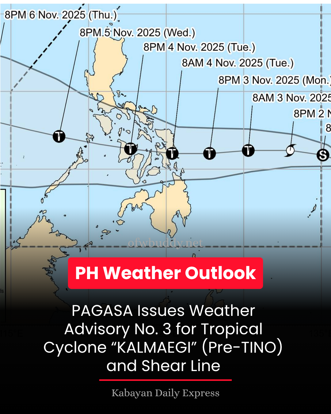
The Philippine Atmospheric, Geophysical and Astronomical Services Administration (PAGASA) has released Weather Advisory No. 3 for Tropical Cyclone KALMAEGI (pre-TINO) and the prevailing shear line, warning of widespread heavy rainfall across several regions in the Visayas, Bicol, and parts of Mindanao in the coming days.
Heavy Rainfall Outlook Due to Tropical Cyclone KALMAEGI (pre-TINO)
Tomorrow (November 3):
-
100–200 mm (Heavy to Intense Rainfall): Eastern Samar and Dinagat Islands
-
50–100 mm (Moderate to Heavy Rainfall): Catanduanes, Albay, Sorsogon, Northern Samar, Samar, Leyte, Biliran, Southern Leyte, and Surigao del Norte
Tuesday (November 4):
-
100–200 mm (Heavy to Intense Rainfall): Masbate, Northern Samar, Eastern Samar, Samar, Leyte, Southern Leyte, Biliran, Cebu, Negros Occidental, Iloilo, Capiz, Aklan, Guimaras, and Dinagat Islands
-
50–100 mm (Moderate to Heavy Rainfall): Romblon, Marinduque, Oriental Mindoro, Catanduanes, Albay, Sorsogon, Antique, Negros Oriental, Bohol, Siquijor, Surigao del Norte, Agusan del Norte, Camiguin, Misamis Oriental, Lanao del Norte, Misamis Occidental, and Zamboanga del Norte
Heavy Rainfall Outlook Due to Shear Line
Tomorrow (November 3):
-
50–100 mm: Cagayan, Isabela, Aurora, Quezon, Camarines Norte, and Camarines Sur
Tuesday (November 4):
-
50–100 mm: Aurora, Quezon, Camarines Norte, and Camarines Sur
PAGASA cautioned that rainfall may be higher in mountainous or elevated areas, and flooding or landslides are possible due to significant prior rainfall in some locations.
Local government units and disaster risk reduction offices are urged to take precautionary measures to safeguard lives and properties. Regional PAGASA offices may issue localized Heavy Rainfall Warnings, Thunderstorm Advisories, or other updates as conditions evolve.
The next Weather Advisory is scheduled for release at 11:00 a.m. today unless significant changes occur.
Understanding the Difference: Weather Advisory vs. Heavy Rainfall Warning
PAGASA clarified that a Heavy Rainfall Warning covers a shorter forecast period—typically the next three hours—and applies up to the municipal level. It uses Doppler radar technology for real-time rainfall tracking, providing high accuracy for immediate decision-making, especially in flood-prone areas.
In contrast, a Weather Advisory gives a 24-hour provincial-level forecast, offering a broader outlook on potential weather disturbances but with less precision.
For official announcements such as class suspensions and emergency responses, PAGASA advised the public to rely on Heavy Rainfall Warnings from the corresponding regional services divisions.
Source: PAGASA Northern Luzon PRSD