
November 9, 2025 – Manila, Philippines
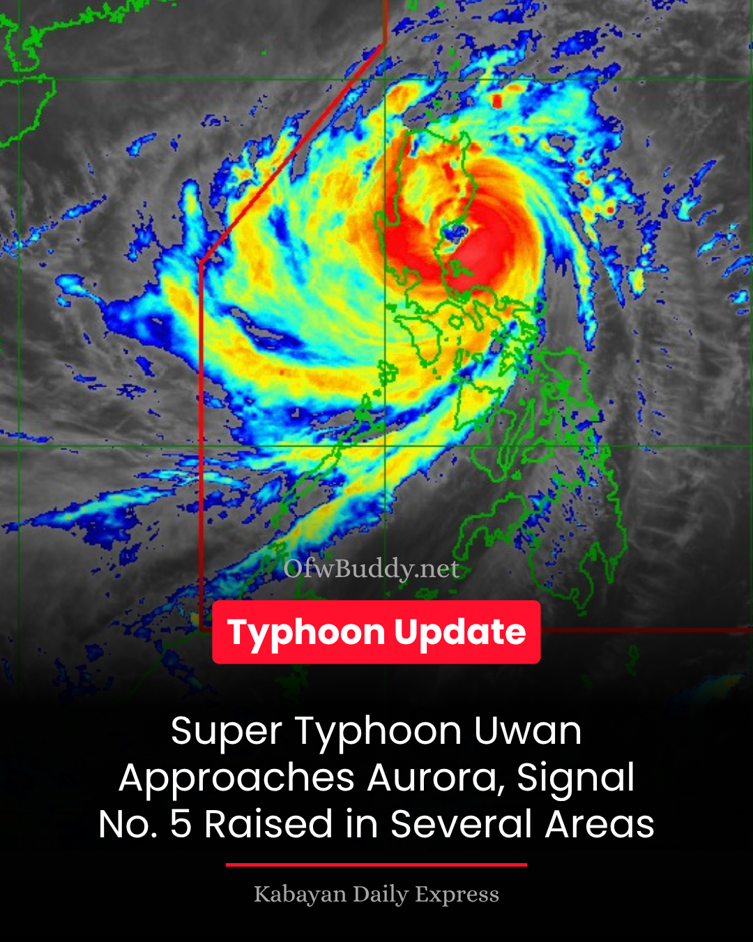
Super Typhoon Uwan (international name: Fung-Wong) is set to make landfall over the central or northern portion of Aurora province tonight, bringing life-threatening winds and heavy rains across Luzon. The latest Tropical Cyclone Bulletin No. 13 was issued by PAGASA at 8:00 PM today.
According to the bulletin, the center of Uwan’s eye was located 125 km northeast of Infanta, Quezon, and 85 km east-southeast of Baler, Aurora, moving northwest at 30 km/h. The typhoon packs maximum sustained winds of 185 km/h, gusting up to 230 km/h, with a central pressure of 935 hPa. Strong to typhoon-force winds now extend up to 900 km from its center.
Wind Signals and Threats:
-
Signal No. 5 (Typhoon-force winds) has been raised over northern and central Aurora, northeastern Nueva Ecija, southeastern Nueva Vizcaya, and southern Quirino. Residents in these areas face extreme threats to life and property.
-
Signal No. 4 affects surrounding areas including the rest of Aurora, Nueva Ecija, Nueva Vizcaya, Isabela, southern Mountain Province, Benguet, and portions of Ilocos Sur, La Union, Pangasinan, Tarlac, Pampanga, Bulacan, Rizal, and Quezon, with typhoon-force winds expected within 12 hours.
-
Signal No. 3 is in effect over Metro Manila, Cavite, Batangas, Laguna, Rizal, Bulacan, Pampanga, Tarlac, parts of Cagayan Valley, Bicol Region, and other provinces, warning of storm-force winds reaching 89–117 km/h.
PAGASA also warned of life-threatening storm surges exceeding 3 meters along low-lying coastal communities in Luzon, Visayas, and parts of Mindanao. Coastal and upland areas are expected to experience extreme to significant wind impacts, depending on proximity to the typhoon’s center.
Sea conditions remain dangerous, with waves reaching up to 14 meters along the seaboards of Isabela, Aurora, and Camarines Norte. Mariners are advised to stay in port or seek safe shelter immediately.
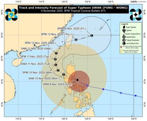
Uwan is forecast to traverse Northern Luzon’s mountainous terrain, weakening but maintaining typhoon strength as it moves towards Lingayen Gulf or the coast of Pangasinan or La Union tomorrow morning. It is expected to turn northwestward, then northward, before heading toward the Taiwan Strait by Wednesday, November 12, and make landfall in western Taiwan on Thursday.
PAGASA urged the public and disaster risk management offices to take all necessary precautions, follow evacuation orders, and stay updated with local advisories.
The next bulletin will be issued at 11:00 PM today.